
Bear Brook Trail Map
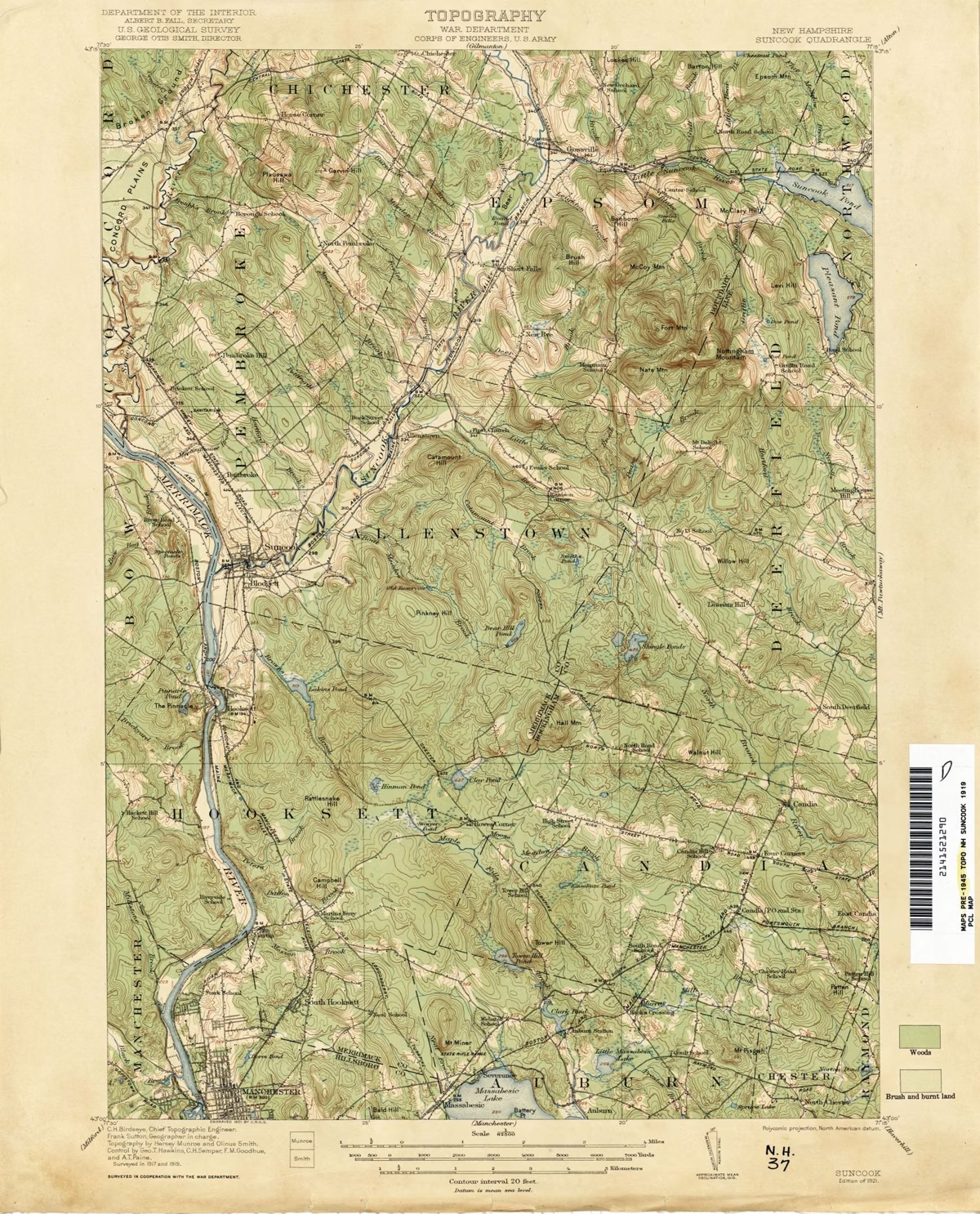
The official Bear Brook State Park trail map is a free two-page PDF from NH State Parks, dated 2021, showing more than 40 miles of trails across Allenstown, Deerfield, Hooksett and Candia. It marks every named trail, the gravel and paved roads, gates, parking lots, tollbooths, ponds and view points. It does not print a length for any trail, so use the scale bar. You can download the trail map from NH State Parks and print it before you go.
The Map at a Glance
How the Map Is Laid Out
The front page shows the whole park, with north at the top. Deerfield Road crosses the top of the map from west to east. Catamount Pond and the day-use area are in the upper left. Podunk Road drops south through the middle of the park past the Bear Brook trailheads and Hayes Field, and Lower Road branches east past the archery field to Beaver Pond Campground in the lower right. The Bear Hill Pond cabins and Hall Mountain are along the bottom.
The back page has two close-up insets. Inset 1 covers the dense web of trails between Catamount Hill and Bear Brook. Inset 2 covers the trails around the Podunk Road entrance and the archery field. Use them if you plan to ride or hike the shorter connectors there.
Reading the Symbols
- Dashed lines are trails. Solid lines are paved roads, and double dashed lines are gravel roads.
- A bar with a dot at each end is a gate across a road or trail.
- A dollar sign is a tollbooth. There are two: at Catamount Pond and on Podunk Road.
- P is parking. The map shows lots at Catamount Pond, Podunk Road, the archery field, Hayes Field, Bear Hill Camp and the south end off Podunk Road.
- A pair of binocular-like squares is a view point. Catamount Hill and Hall Mountain have them, and so do spots on Bear Hill Pond and Beaver Pond.
- A wheelchair symbol marks the universally accessible area at the archery field.
Named Trails on the Map
The map names dozens of trails. The most useful to know first:
- One Mile Trail: the main artery, a former fire road that NH State Parks rates relatively easy. It links Catamount Pond to the Bear Brook and Catamount trails.
- Bear Brook Trail and Lower Bear Brook: follow the brook that gives the park its name. Shaded and cool in summer, rated moderate.
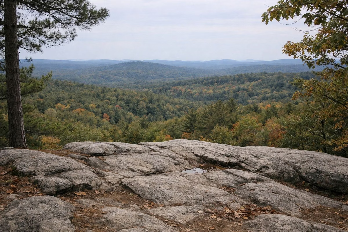
- Catamount Trail: climbs Catamount Hill to an open granite lookout. Steep, rocky, rated difficult.
- Hayes Farm, Carr Ridge and Sentinel Pine: cross the middle of the park toward Hayes Marsh.
- Hemlock, Pitch Pine and Camp: run east of Podunk Road toward Smith Pond and the campground.
- Bear Hill, Chipmunk, Ledge and Hedgehog: circle Bear Hill above the cabins.
- Hall Mountain, Hall Mountain Marsh, Ferret and Lost: the southern network around Hall Mountain.
Many shorter connectors carry animal names, such as Porcupine, Cub, Squirrel, Moose, Wildcat, Bobcat and Lynx. They make a dense grid, especially in the two inset areas, and they are easy to mix up. Carry the map. Trail-by-trail advice is on the hiking page.
Planning Time Without Trail Lengths
Neither the map nor NH State Parks' trail sheet gives a length for individual trails. The scale bar runs to 1.2 miles. The map's own advice is to allow about an hour for each trail mile, and to remember that not every trail returns to where it started. Leave your plan with someone, and check what time it gets dark.
The Winter Trails Map
NH State Parks also posts an older winter map, dated January 1992. It shows cross-country ski trails numbered X-C 1 to X-C 14, the snowmobile trails, New Hampshire Corridor Trail 15, and the skiers' and snowmobile parking lots off Deerfield Road. Treat it as a general guide, since it is more than 30 years old. See winter at Bear Brook.
Other Map Sources
The park page also points to a trail information sheet, a printed trail guide at the park, the New England Mountain Bike Association's riding pages and the Trail Finder site. When a map from another source disagrees with the state map, follow the state map and posted signs.
Bear Brook State Park Trail Map FAQ
Where can I get a Bear Brook State Park trail map?
NH State Parks posts the official trail map as a free PDF on its Bear Brook page. The trail information sheet says a printed trail guide is also available at the park.
How many miles of trails does Bear Brook have?
More than 40 miles, according to NH State Parks. Hikers, mountain bikers and horseback riders share them unless a trail is posted otherwise.
Does the Bear Brook trail map show trail lengths?
No. The 2021 map has a scale bar but no lengths for individual trails. Allow about an hour per trail mile, as the map advises.
Is there a winter trail map for Bear Brook?
Yes. NH State Parks posts a winter map, dated 1992, showing cross-country ski trails, snowmobile trails and Corridor Trail 15.
Where are the parking lots on the Bear Brook trail map?
At Catamount Pond, on Podunk Road near the Bear Brook trails, at the archery field on Lower Road, at Hayes Field, at Bear Hill Camp and at the south end off Podunk Road.